Arthur’s Pass township is about 5 km south of the mountain pass with the same name. Its elevation is 740 metres above sea level surrounded by beech forest. The Bealey River runs through the township. The town is located 153 km from Christchurch a 2-hour drive on SH 73.
User reviewed online profile of Arthur’s Pass National Park: Canterbury region, New Zealand. Plan your adventure holiday to Arthur’s Pass National Park armed with information and reviews provided by experts and by users. Find out about when to go, how to get there, what to do, best season to visit, its wildlife, habitat and much more…
What to do in Arthur’s Pass National Park:
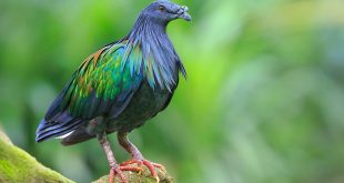
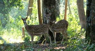
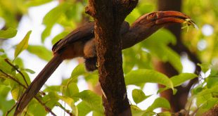
Wild Life: Kea, Kaka, Bellbird, Tomtit, Rifleman, New Zealand Falcon
Adventure: Mountain Biking, Mountaineering, Tramping, Skiing, Walking
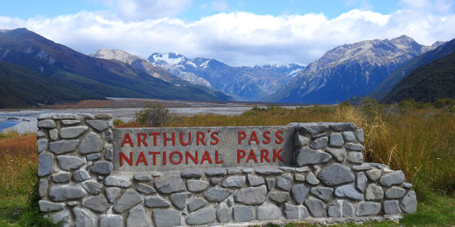
Where is Arthur’s Pass National Park:
Region: Located across the Southern Alps of the South Island.
Location: Canterbury district, Canterbury region, New Zealand
When & how to get to Arthur’s Pass National Park:
Best Time to Visit: 01-Jan to 31-Dec
Getting There: State Highway 73, the main road between Greymouth and Christchurch in the South Island, goes right through the park and the village of Arthur’s Pass. Winding in places, it is one of the country’s most scenic routes. It’s a two hour drive from Christchurch in the east, and about one and half hour’s drive from Greymouth on the west coast. Regular bus services operate between Greymouth, Hokitika and Christchurch.
Nearest Town: Christchurch
Nearest Airport:
Nearest Railway Station:
Where to stay (Lodges / Guest Houses / Camps / Resorts / Hotels):
Accommodation: Arthur’s Pass village is in the centre of the park, on State Highway 73. The Arthur’s Pass Visitor Centre provides interpretative displays and information. There are plenty of accommodation options in and around the village, from motels, bed and breakfast, to backpackers. There are also several eating places, a craft shop, basic groceries and petrol. A DOC (Department of Conservation) camping area is located in the village, with a day shelter, toilets and water, for a nominal charge. Most main entry points into the park also have basic camping facilities. Over 30 backcountry huts and basic shelters (bivouacs) are located within the park, linked by a large network of tracks and routes.
Add a hotel: If you know of a hotel, resort, guest house or camp please add it here. If you own or manage a hotel or resort you can add it to the database for ‘Free’.
Climate & Weather conditions in Arthur’s Pass National Park:
Temp: 0 c to 25 c
Rainfall: 5000 cm
Altitude: 2000 m
Other details about Arthur’s Pass National Park:
Established: 1929
Area: 1,143 sq km
Language: English and Maori