Kahurangi Point, regarded as the boundary between the West Coast and Tasman Regions, is located in the park, as are the Heaphy Track and Mount Owen.
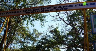
The park is administered by the Department of Conservation. Tramping, rafting and caving are popular activities in the park. After being prohibited for several years, mountain biking was allowed on the Heaphy Track on a trial basis for the winters of 2011, 2012 and 2013. The effect of the cyclists on trampers and the wildlife will determine whether the trial continues or not.
User reviewed online profile of Kahurangi National Park: Nelson, Marlborough and West Coast regions, New Zealand. Plan your adventure holiday to Kahurangi National Park armed with information and reviews provided by experts and by users. Find out about when to go, how to get there, what to do, best season to visit, its wildlife, habitat and much more…
What to do in Kahurangi National Park:
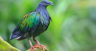
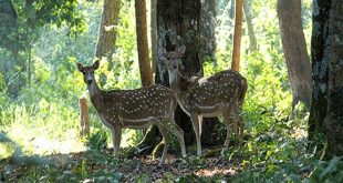
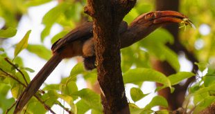
Wild Life:Rock Wren, New Zealand Falcon, Kea, Kaka, Yellowhead, Blue Duck, Great Spotted Kiwi, Cave Weta, Cave Beetle and Nelson Cave Spider
Adventure: Rafting, Kayaking, Tramping, Fishing, Walking, Caving
Where is Kahurangi National Park:
Region: Located in the northwest corner of New Zealand’s South Island.
Location: Motueka, Takaka, Marlborough, Tapawera and West Coast districts, Nelson, Marlborough and West Coast regions, New Zealand
When & how to get to Kahurangi National Park:
Best Time to Visit: 01-Nov to 31-Jan
Getting There: Kahurangi is in the northwest corner of the South Island. Motueka, Takaka, Karamea, Tapawera and Murchison are the park’s gateway towns. Roads from all the gateway towns lead into carparks within the park and a network of tracks. There are regular bus services to Motueka, Takaka and, in summer, to the start of the Heaphy Track. The bus service through to Christchurch can also drop people at a number of access points into the park. There are also companies in most of the local towns that offer an on-demand shuttle service.
Nearest Town: Karamea
Nearest Airport:
Nearest Railway Station:
Where to stay (Lodges / Guest Houses / Camps / Resorts / Hotels):
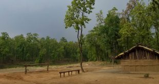
Accommodation: There are many backcountry huts and several campsites in Kahurangi National Park. A wide variety of accommodation is also available in the nearby towns, from backpackers to luxury lodges.
Add a hotel: If you know of a hotel, resort, guest house or camp please add it here. If you own or manage a hotel or resort you can add it to the database for ‘Free’.
Climate & Weather conditions in Kahurangi National Park:
Temp: c to c
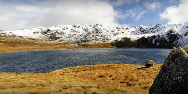
Rainfall: 5000 cm
Altitude: 1875 m
Other details about Kahurangi National Park:
Established: 1996
Area: 4,520 sq km
Language: English and Maori